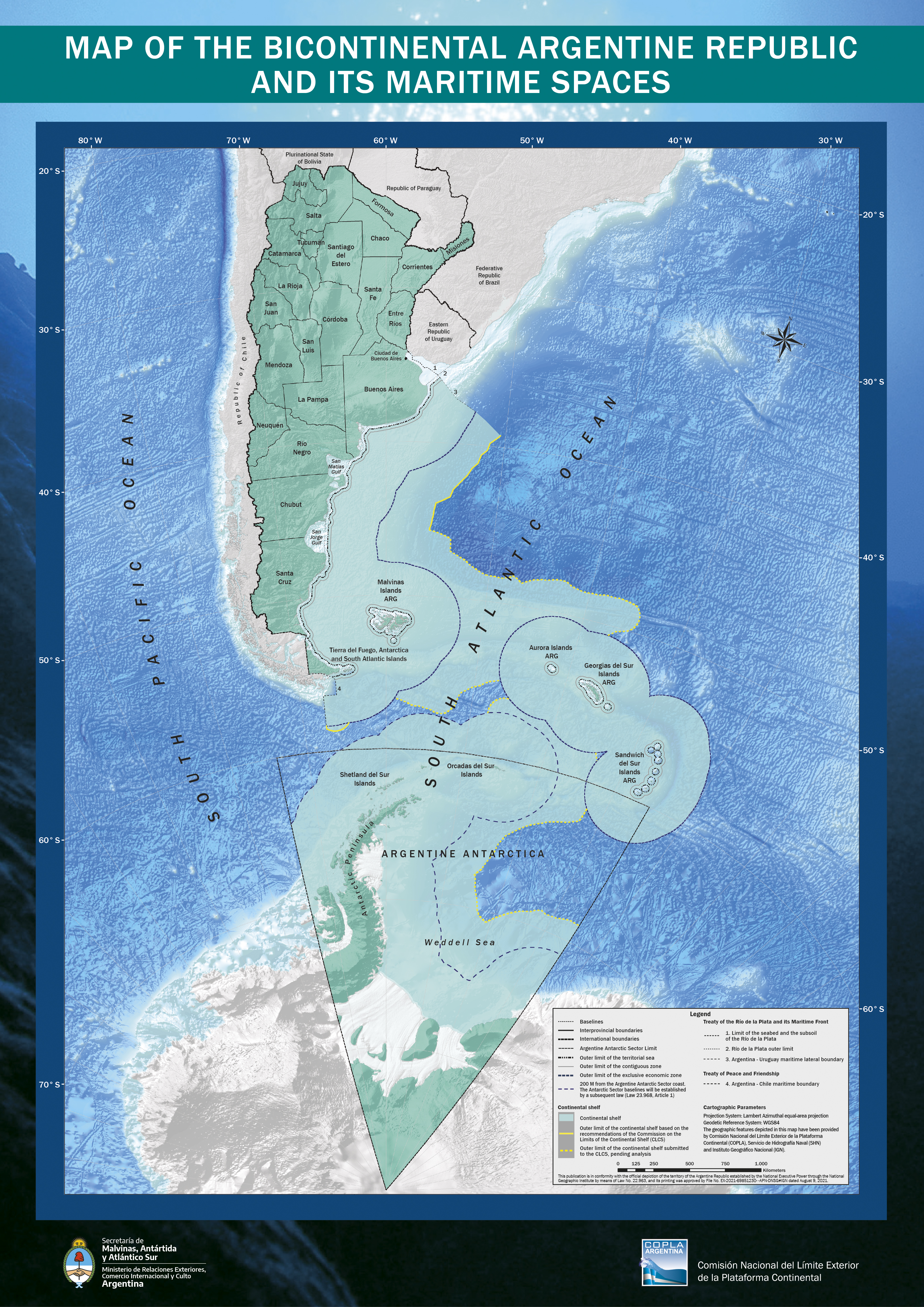
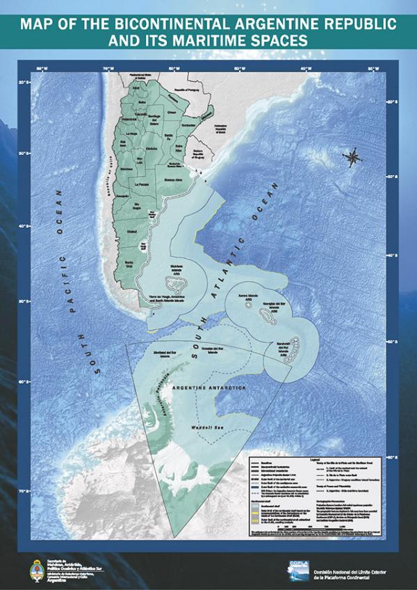
MAP OF THE BICONTINENTAL ARGENTINE REPUBLIC AND ITS MARITIME SPACES
EXPLANATORY BROCHURE OF THE MAP OF THE BICONTINENTAL ARGENTINE REPUBLIC AND ITS MARITIME SPACES
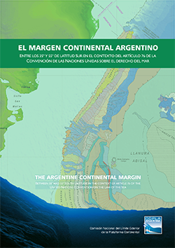
PUBLICATION OF COPLA'S GEOLOGY BOOK
Download Argentina Bicontinental Map A3
Download Bicontinental Argentina Map 68x90cm